

Risks to Low-lying Areas
Atlantic coasts, such as Newfoundland and Labrador's, are particularly sensitive to sea-level rise because they have many low-lying or low-sloping areas with salt marshes, barrier beaches, and lagoons. Higher sea levels could result in more frequent, more severe, or even long-term flooding issues for these areas over time. For example, the breakwater and road to the lighthouse in Ferryland has been damaged several times in recent years. The most sensitive areas in this province are: low-lying parts of coastal Labrador, south of Makkovik; the Strait Shore from Cape Freels to Musgrave Harbour; the southern shore of Bay St. George; and the southern shore of Fortune Bay (including Grand Bank).
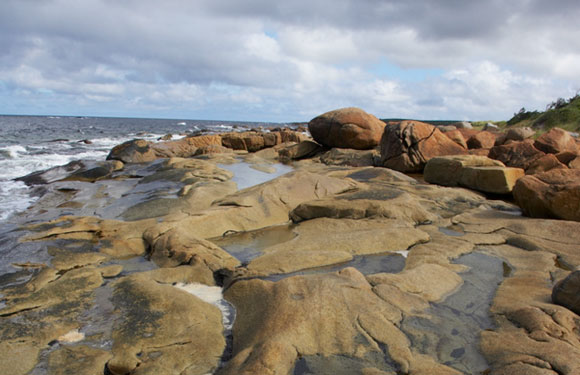
Musgrave Harbour Coastline
Photo courtesy Newfoundland and Labrador Tourism
Lighthouse in Ferryland Background photo courtesy of the Tedster