Infrastructure and Land Use Planning
Control over land use and infrastructure development are some of the most important functions of a municipal government.
Infrastructure and Land Use Planning
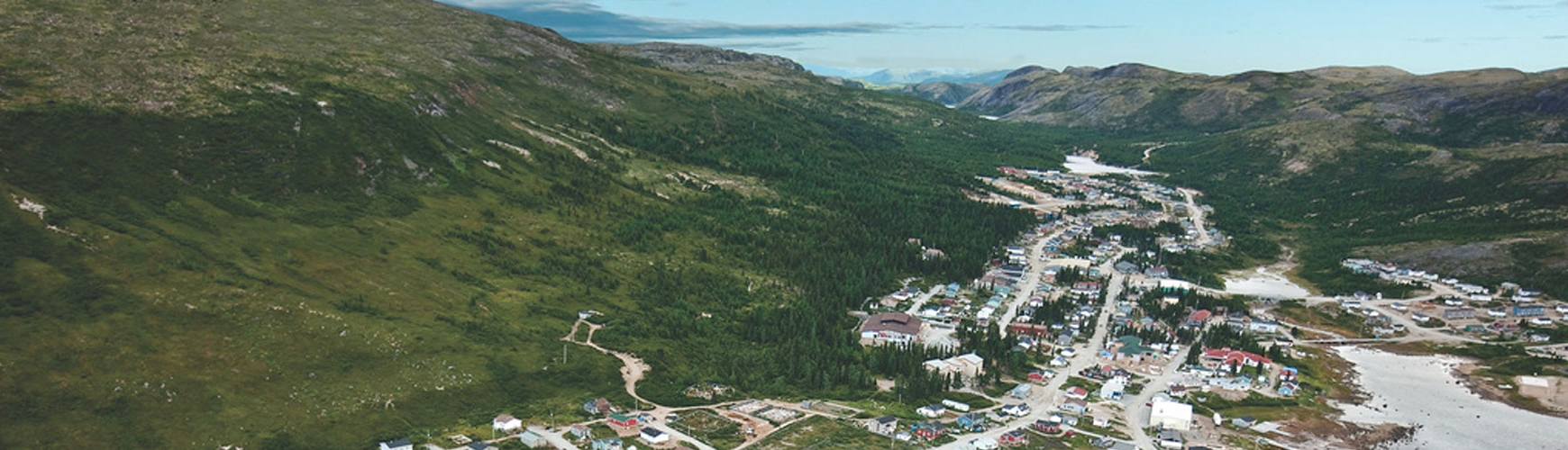
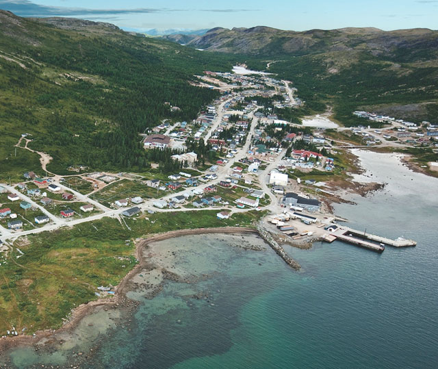
Control over land use and infrastructure development, as well as the provision of services to residents are some of the most important functions of a municipal government. This includes road infrastructure, wastewater, stormwater and water distribution systems, buildings and other infrastructure such as parks and trails. Decisions about where and how to allow development are made on a regular basis, and these decisions directly impact the sustainability and resilience of communities.
Future changes in climate have the potential to significantly impact decisions relating to community development and it's important for a community to know its risks. Examples of possible risks include:
- Increased flooding as a result of more frequent and intense storms
- Increased coastal erosion as a result of rising sea levels and storm surges
- Changes in snow cover and winter sea ice in northern areas
What can you do?
Well-developed land use and emergency response plans can generate multiple benefits, including reduced servicing costs and increased public safety. Development decisions also have a lasting impact, as infrastructure is typically designed to last for decades. As such, it is critically important these decisions are grounded in up-to-date and accurate information, including climate data. Actions to incorporate climate change into infrastructure and land use planning include:
- Understand Climate Risks - Take steps to understand how climate change is expected to impact your community by analyzing available climate data and engaging with local residents about the changes they are seeing first-hand.
- Assess Vulnerabilities - Once you know how climate change will affect your community, it's important to identify which infrastructure or areas of your community are most vulnerable and what changes can be made to address these vulnerabilities. A community-based tool called the "7 Steps" can assist in identifying a community's vulnerability to climate change and provide suggestions to minimize risk.
- Modify Plans Accordingly - After assessing your risks and vulnerabilities, it is important to modify your municipality's plans accordingly, which could include:
- Updating zoning requirements under your Municipal Plan to avoid at-risk areas and ensuring these requirements are adequately enforced
- Modifying plans for updating infrastructure to ensure changes in climate are adequately reflected (e.g. review standards and consider whether new features are required, such as larger culverts and upgrades to water systems)
What have others done?
Helpful Resource

The Government of Newfoundland and Labrador has developed several resources to identify how climate change is expected to impact this province, including temperature and precipitation projections, as well as coastal erosion monitoring reports, flood risk maps and community assessment tools. Visit the Climate Data and Tools page of this site to learn more.